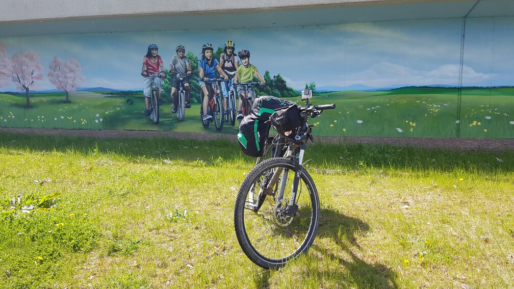
Activities
I am recording my activities using Strava since 2016. You can find my logs here: Strava Workouts
2020: 3675 km
2019: 5688 km
2018: 11138 km
2017: 9760 km
2016: 7466 km
For a documentation of my long distance cycling activities check here.
Tools
I am using several sources for planning my trips, but no specific one. Nowadays it is easy to find a lot of GPS tracks just by searching on the internet. You may find descriptions as well which can be important to get a rough idea about the road types. E.g. I prefer to go a mixure of asphalt and forest roads. Extreme offroad tracks I try to avoid, especially when I carrying luggage for a longer trip.
OSMAND
I am using OSMAND on my Android phone to navigate along a track I downloaded before. The tool is using Open Street Map data. Everyone with an account to OSM can help to improve the map qualitiy – especially for different cycling path types. The maps for Europe are good and can be used for navigation for bike trips as well. In other countries I visited, e.g. Turkey or China OSMAND may be useful if a track is available already. A lot of routes are missing or not updated. If I discover some bugs or missing pathes on OSM I usually help by changing this, too.
GPS-Track Analyse-NET
This tool I am using especially if I want to get an impressions of the height profile, but the track I found dond’t have the information. The tool helps to download the relevant height information for the track positions.
Sometimes it is useful to recover some trip data from the planned data (e.g. because of some errors during tracking). The tool provides the possibility to change the start and end time of the track and adapt the timestamps of each gps point as well. This is necessary to upload a valid track to Strava.
GPS Trackmaker
A very simple tool to handle several tracks. I uses this very often to build my track for navigation based on a couple of tracks I found before on the internet. It is easy to cut and merge the tracks whereever you want and to check the overall distances.
Garmin Basecamp
Tool I am using to plan routes based on Openstreet map. For planning either velomaps (usally for touring) or mtbmaps can be installed from here: velomap.org